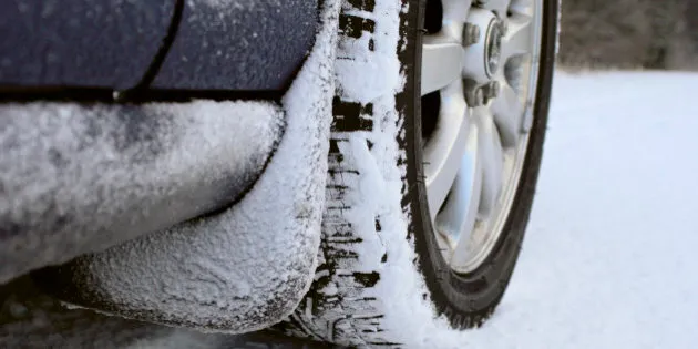
Heavy snowfall and freezing rain are in the forecast for parts of central and southern Alberta.
Snow is expected in northwestern Alberta on early Sunday and will move southeastward during the day and into the night, according to Environment Canada. Fifteen to 25 centimetres of snow is expected while some areas could see more than 30 centimetres.
Several collisions were reported on Highway 43 on Saturday, and many vehicles are in the ditch, say RCMP.
The RCMP is asking motorists to exercise caution as road conditions on Highway 43 are extremely icy, especially in the Rochfort Bridge area.
Freezing rain is in the forecast for Saturday afternoon, in regions including Edmonton, Camrose and Drayton Valley.
As of 2:00 p.m. Saturday, winter storm advisories remain in effect for:
- Airdrie - Cochrane - Olds - Sundre
- Brooks - Strathmore - Vulcan
- City of Calgary
- Drumheller - Three Hills
- Grande Prairie - Beaverlodge - Valleyview
- Hanna - Coronation - Oyen
- Hinton - Grande Cache
- Medicine Hat - Bow Island - Suffield
- Nordegg - Forestry Trunk Road Highway 734
- Okotoks - High River - Claresholm
- Peace River - Fairview - High Prairie - Manning
- Red Deer - Ponoka - Innisfail - Stettler
- Rocky Mountain House - Caroline
- Whitecourt - Edson - Fox Creek - Swan Hills
And freezing rain advisories remain in effect for:
- City of Edmonton - St. Albert - Sherwood Park
- Drayton Valley - Devon - Rimbey - Pigeon Lake
- Fort Saskatchewan - Vegreville - Redwater - Smoky Lake
- Leduc - Camrose - Wetaskiwin - Tofield
- Slave Lake
- Spruce Grove - Morinville - Mayerthorpe - Evansburg
- Westlock - Barrhead - Athabasca
Also on HuffPost
